


Map Gallery...
Maps for Local Plans and Studies
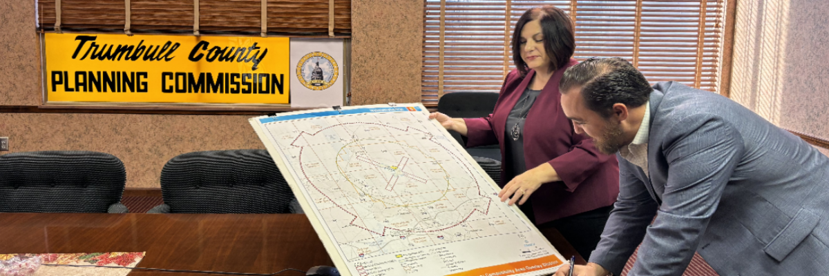
The Trumbull County Planning Commission’s professional staff has the technical capability to produce various maps using ArcView GIS software.
Specialized maps can only be produced through direct contracts with local communities. Maps addressing a variety of topics are (or can be) included in your community’s comprehensive plan, comprehensive plan update, small area plan or special study.
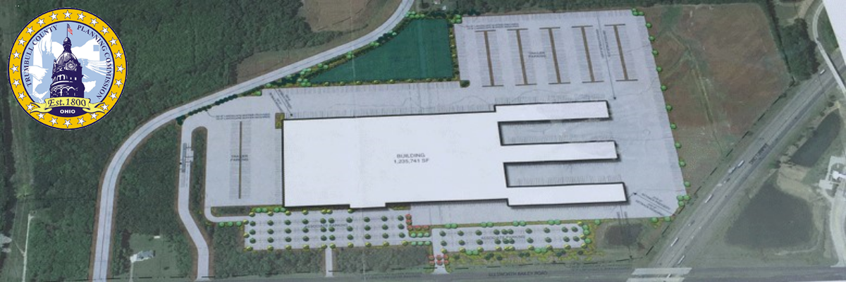
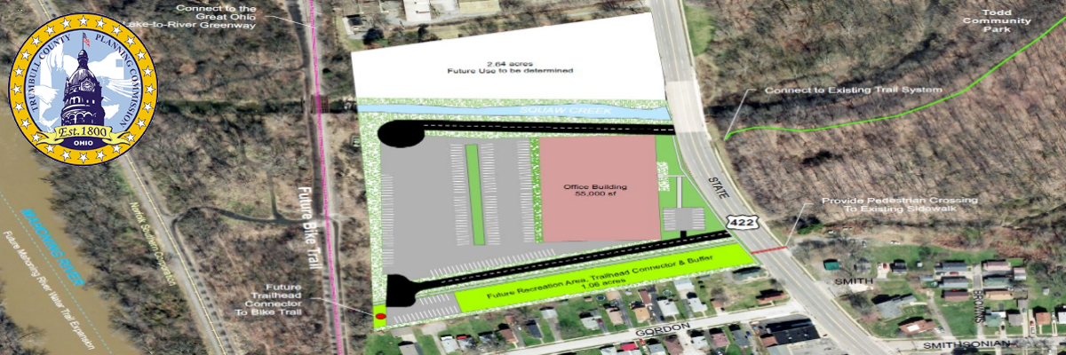
We can produce maps for local plans, including, but not limited to: zoning, housing conditions, existing land use, transportation, soils, topography, groundwater resource yields, depth to bedrock, geology, bedrock geology, watersheds, wetlands, hydric soils, flood hazard areas, flooding soils, glacial geology and slopes.
In most plans, a community’s map of future conditions should be firmly grounded on analyses of trends, existing conditions, projections, community input, and realistic goals and policies.
Prices for Existing Hard Copy Maps
Please note that these charges are for completed maps (maps already designed and produced, with no changes). Charges are for printing and material costs only. The cost will be $5.00 to have an existing map transferred as a .jpeg onto a CD. No maps or CD’s will be made available until full payment is received. Maps and CD’s are available by pick-up only.
Map Prices
| Size | Measurements | Color Map (Highest Quality) | Black and White (Map from printer) |
|---|---|---|---|
| A | 8.5 x 11 | $5 | $2.50 |
| B | 11 x 17 | $7 | size not available in black and white |
| C | 17 x 22 | $15 | size not available in black and white |
| D | 22 x 34 | $20 | size not available in black and white |
| E | 34 x 44 | $25 | size not available in black and white |
If you are a local official in a Trumbull County community and would like to request mapping services, please contact:
Kim Vaughn, Plats & Zoning Coordinator
Phone: (330) 675-2714
Email: kimberly.vaughn@co.trumbull.oh.us